BR-163, MS Brazil
| Mod Name | BR-163, MS Brazil |
| Game | Farming Simulator 25 |
| Manufacturer | None |
| Category | South American Maps |
| Author | Zero oito |
| Size | 806.11 MB |
| Version | 1.0.0.2 |
| Release Date | 03.12.2025 |
| Platform | PC/MAC, PS5, XBS, S2 |
Views 1527
Downloads 21
ModBarn 0 (0)
ModHub 4.7 (1966)
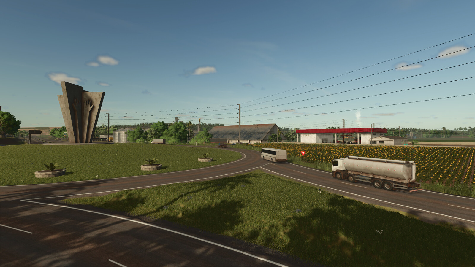
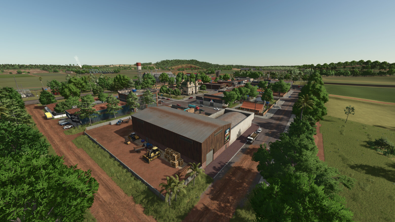
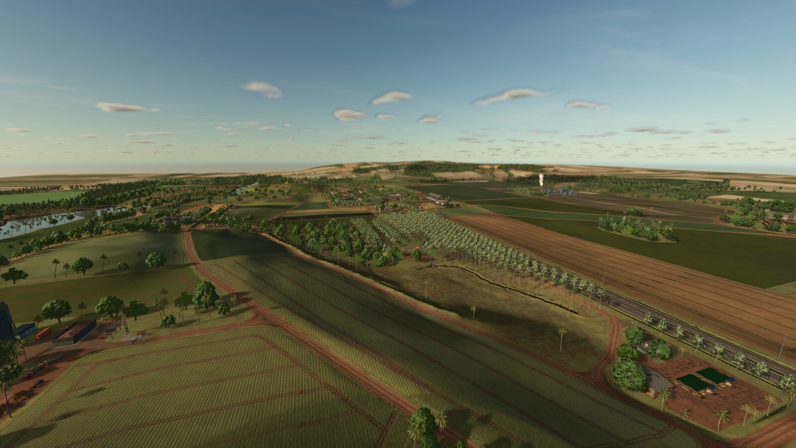
Map based on a stretch of the BR-163 highway, in the region of the city of Dourados in the state of Mato Grosso do Sul, Brazil,
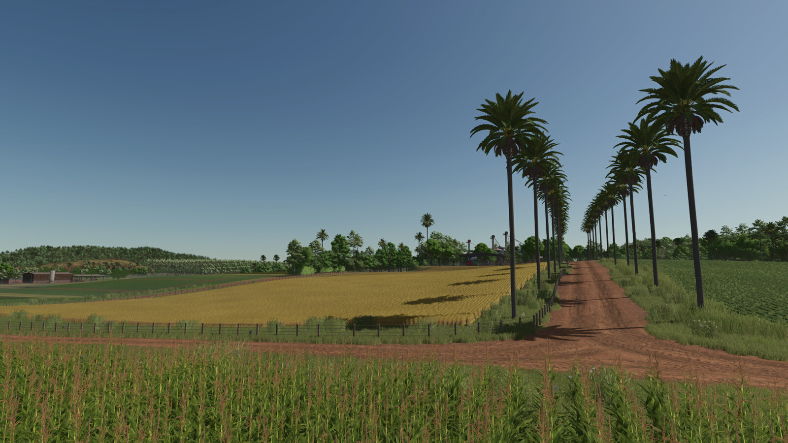
adding several characteristics of the region. A region that produces mainly corn and soybeans.
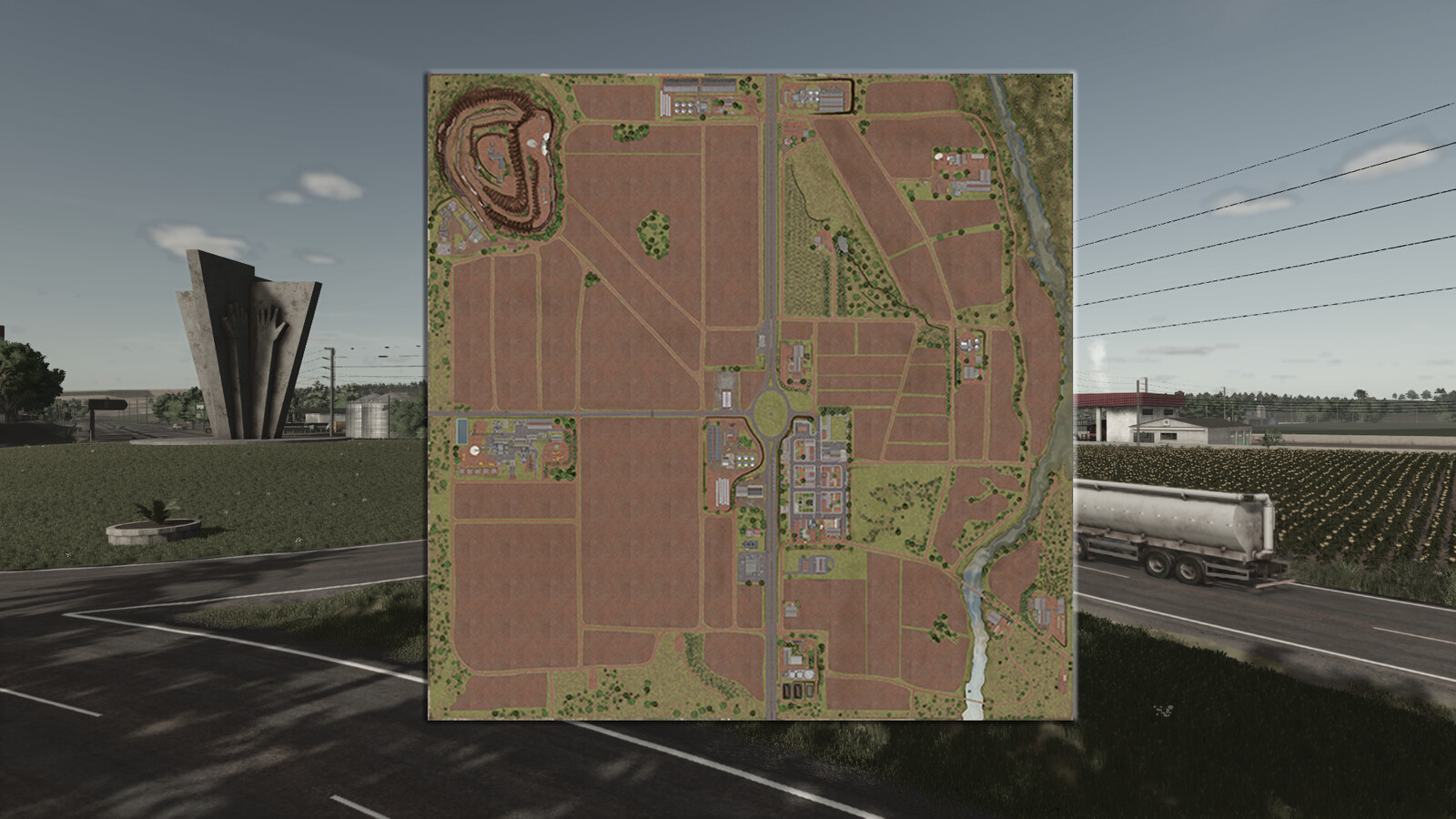
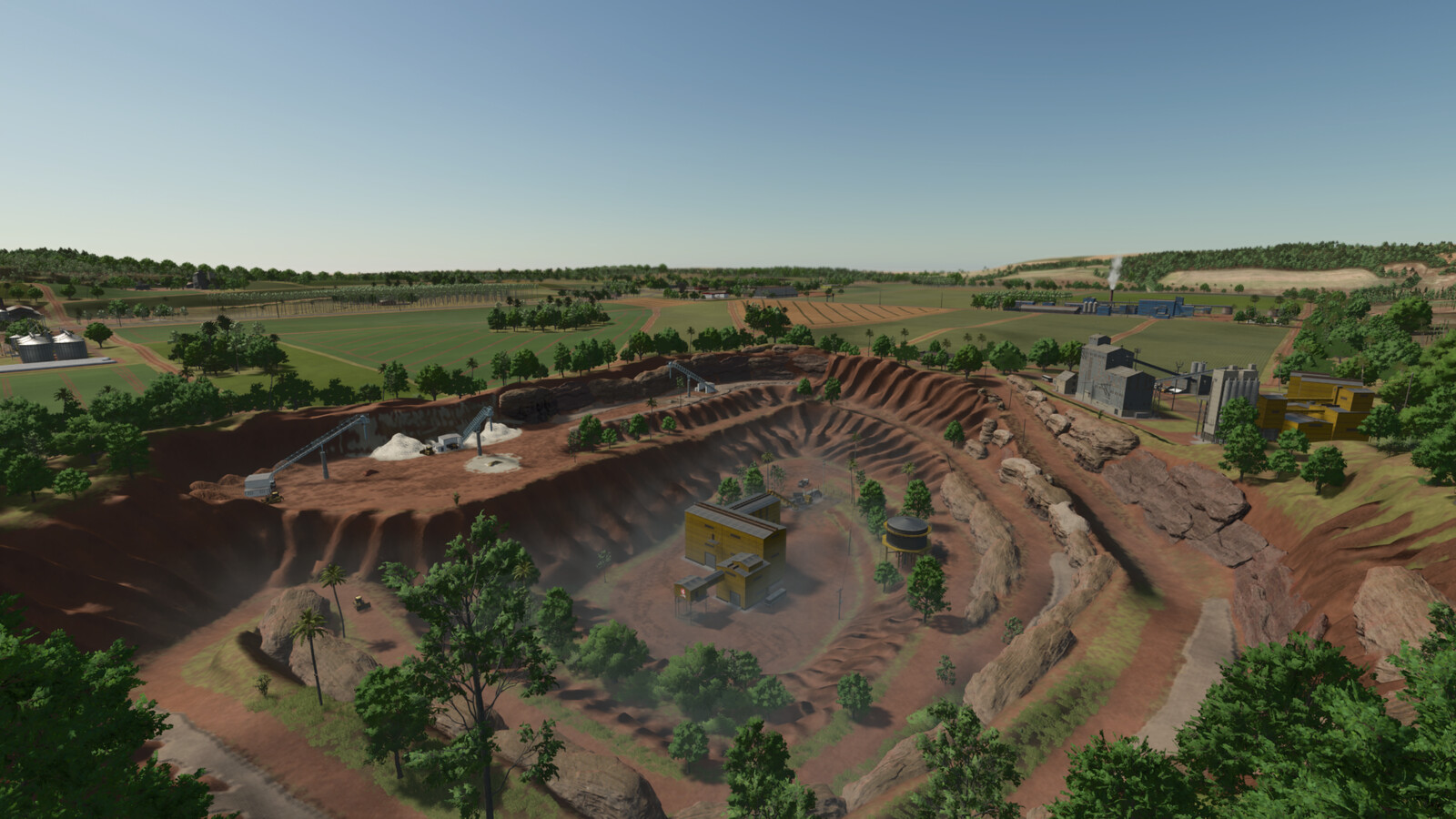
The map has:
-75 buyable lands.
-47 fields (0.34ha to 24.90ha).
-2 grain selling points.
-Multiple production points.
-A quarry.
-Sawmill.
-Animal Dealer.
-Vehicle shop.
-BGA.
-new productions
NOTE:
-All structures such as houses and sheds that are in purchasable areas can be removed.
-In multiplayer, farm #1 can remove fences and gates across the map.
Changelog Version 1.0.0.1:
-Fixed some misplaced objects.
-Fixed the duplicate silo on the main farm.
-Reduced bridge construction time by 30%.
-Reduced the deformation of the main dirt texture when dry.
-Change the size of the decorative grass to avoid issues with animal pens.
-It is now possible to sell containers at the sawmill.
Changelog Version 1.0.0.2:
-The planting and harvesting calendar has been changed.
More from Zero oito

Suggested Mods
Ratings & Reviews
0
0 reviews
| 5 stars | ||
| 4 stars | ||
| 3 stars | ||
| 2 stars | ||
| 1 stars |
| Login above to Rate & Review this. Let us know what you think! |
| No Ratings & Reviews Yet. Be the first to leave a Rating & Review! |